Three hurricanes formed over the Pacific Ocean simultaneously
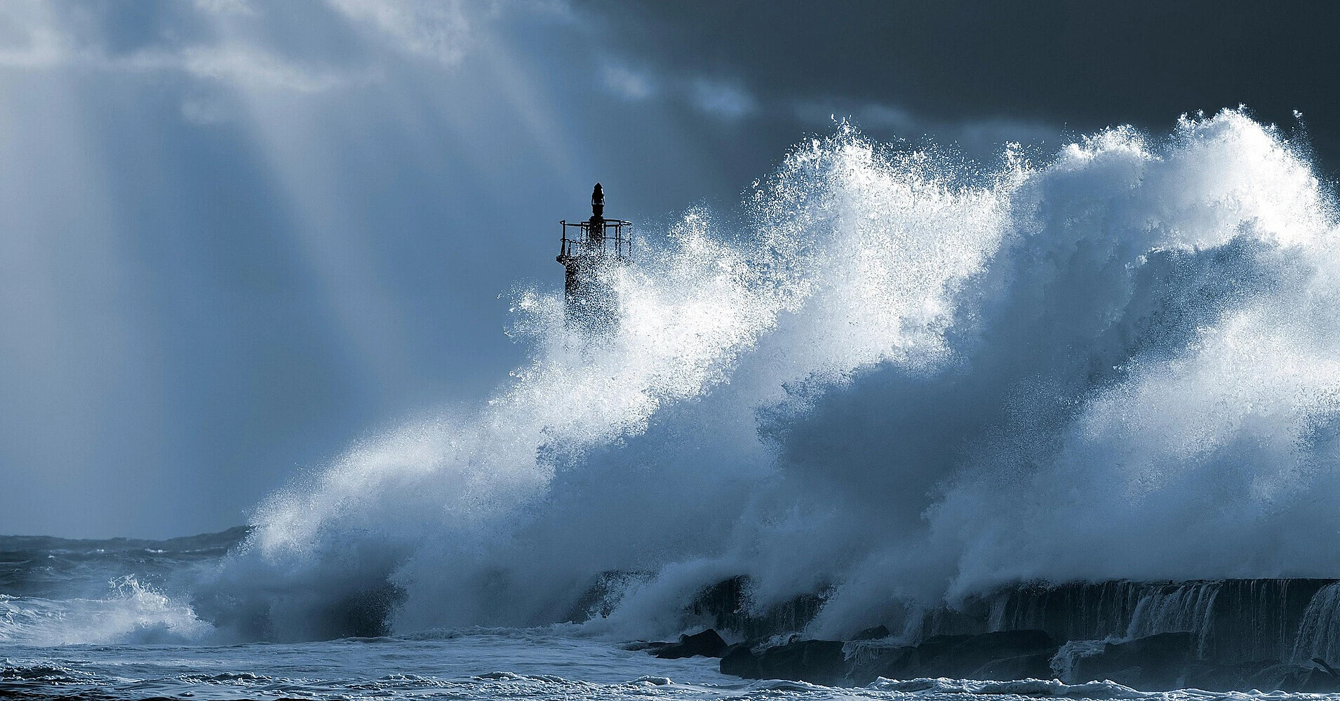
Three hurricanes—Lowell, Karina, and Marie—are currently active in the Pacific simultaneously. This combination of several powerful tropical cyclones is considered rare, and the unusually high activity is occurring against the backdrop of exceptionally warm Pacific waters and a rapidly intensifying El Niño.
The simultaneous presence of three hurricanes on September 3 is confirmed by data from the US National Hurricane Center (NHC). Marie, which strengthened from a tropical storm to a hurricane on the evening of September 2, joined the two existing powerful systems last.
Lowell remains the most powerful
Lowell remains the most dangerous of the three cyclones. The day before, it rapidly intensified to Category 5, the maximum on the Saffir–Simpson scale: sustained wind speeds reached approximately 260 km/h.
By the morning of September 3, Lowell had weakened slightly to Category 4, but it remains an extremely powerful hurricane. According to the latest NHC estimate, the maximum sustained wind speed is about 220 km/h.
The hurricane's center was located approximately 725 km south-southwest of Hilo, Hawaii, and was moving westward. Forecasters expect Lowell to remain a major hurricane for several more days.
No hurricane warnings have been issued for the Hawaiian Islands yet, but meteorologists have urged residents to monitor its movement. The trajectory forecast for several days ahead remains uncertain, and the waves generated by Lowell could produce dangerous surf and strong rip currents.
Karina is gradually losing strength
The second powerful cyclone, Karina, previously also reached Category 4. By September 3, it had weakened to Category 3, but it is still classified as a major hurricane.
Sustained wind speeds are about 185 km/h. Karina is located far east of the Hawaiian Islands and continues to move westward.
According to the NHC forecast, the hurricane should gradually turn west-northwest and then northwest in the coming days. Its track is expected to pass away from the main Hawaiian Islands.
Marie becomes the third hurricane
The third cyclone, Marie, formed much farther east of the other two systems, southwest of the Mexican Baja California peninsula.
By the morning of September 3, Marie's sustained wind speeds had increased to approximately 150 km/h. It corresponds to Category 1 and continues to strengthen while moving west-northwest at about 17 km/h.
Marie remains in the open ocean. No storm or hurricane warnings have been issued for the coast yet, but the waves generated by the cyclone could reach the southwestern coast of Mexico and Baja California and cause dangerous currents.
Three hurricanes simultaneously—a rare event
Experts call the simultaneous existence of three hurricanes in this part of the Pacific a rare event. The situation the day before, when Lowell reached Category 5 and Karina maintained extremely high intensity, was especially unusual.
Meteorologists note that the current activity is developing under exceptionally favorable conditions for strong tropical cyclones. Ocean surface temperatures along much of their paths are significantly above normal, providing the storms with additional energy.
University of Michigan climatologist Julia Cole explained that a strong El Niño creates conditions conducive to more powerful storms in the Pacific. However, scientists do not claim that El Niño directly caused each of the three specific hurricanes.
On September 3, the World Meteorological Organization reported that El Niño is firmly established and continuing to strengthen. The probability that the phenomenon will persist through February 2027 is estimated at nearly 100%—a forecast the WMO has never made so confidently.
The organization expects El Niño to reach very high intensity towards the end of 2026. Exceptionally warm waters in the tropical Pacific can significantly alter the distribution of precipitation and temperatures worldwide and increase the likelihood of droughts, floods, and extreme heat.
Sources: US National Hurricane Center, World Meteorological Organization, RTE