Powerful earthquake in Panama triggered tsunami threat for Pacific coast countries
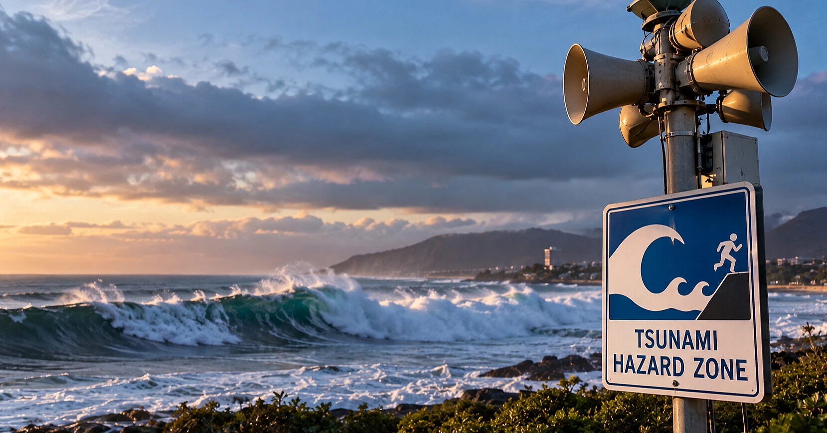
On Friday, October 9, a powerful magnitude 7.7 earthquake struck Panama. The tremors were felt in the country's capital and neighboring Central American states. After the earthquake, American specialists warned of possible dangerous tsunami waves along the Pacific coast of several countries.
This was reported by the United States Geological Survey (USGS), the Pacific Tsunami Warning Center (PTWC), and Axios.
The earthquake occurred on October 9 at 12:56 local time (20:56 Kyiv time). Its epicenter was located approximately 14 kilometers southwest of the settlement of Pitalosa Arriba in southern Panama, near the Pacific coast.
Initially, specialists estimated the earthquake's magnitude at 8.0, but later refined the figures. The USGS determined the magnitude as 7.7, while the Pacific Tsunami Warning Center used an estimate of 7.6.
According to updated USGS data, the earthquake's hypocenter was at a depth of about 12.6 kilometers. The relatively shallow depth contributed to strong ground shaking in areas located near the epicenter.
Tremors were felt in Panama City and the capital of neighboring Costa Rica, San Jose. In some buildings, people felt strong vibration and began to go outside.
Tsunami threat covered several countries
After the earthquake, the Pacific Tsunami Warning Center issued a message about a potential threat to coastal areas of Central and South America.
Panama, Colombia, Costa Rica, Ecuador, Peru, Nicaragua, Guatemala, El Salvador, and Mexico were included in the zone of possible impact of dangerous waves.
According to specialists, dangerous waves could reach certain coastal areas within three hours after the main tremor.
However, a warning of a potential threat does not mean that a destructive tsunami will definitely occur. Its actual height and impact depend on the nature of seafloor displacement, ocean depth, and coastal features.
In an updated message at 18:33 UTC, or 21:33 Kyiv time, the Pacific Tsunami Warning Center continued to assess the threat for the Pacific region.
At the same time, the American warning system clarified that no tsunami warning requiring protective actions is in effect for the west coast of the US, Alaska, and Canadian British Columbia.
Panamanian authorities check earthquake aftermath
In Panama, evacuation of people from some buildings began after strong tremors. National civil protection services started checking possible infrastructure damage, primarily in areas closer to the epicenter.
According to local and international media reports, the earthquake was felt by residents of several central provinces of the country, including Herrera, Los Santos, and Veraguas.
Panamanian authorities urged the population to remain calm, follow official reports, and comply with civil protection recommendations.
At the time of the first reports, there were no confirmed data on deaths or injuries. Damage assessment was ongoing, so preliminary information about the consequences could change.
According to information published after the earthquake, the operation of the Panama Canal continued normally. This is of particular importance for world trade, as the canal connects the Atlantic and Pacific Oceans and remains one of the most important international shipping routes.
Specialists also warned of possible aftershocks. After strong earthquakes, aftershocks may continue for several days and pose an additional danger to damaged buildings.
Panama is located in a seismically active zone at the junction of tectonic plates. The movement of the earth's crust in this part of Central America periodically causes strong earthquakes, including those with a potential tsunami threat.
Based on materials from: United States Geological Survey (USGS), Pacific Tsunami Warning Center, Axios, AccuWeather, GDACS — EU and UN disaster monitoring system.